
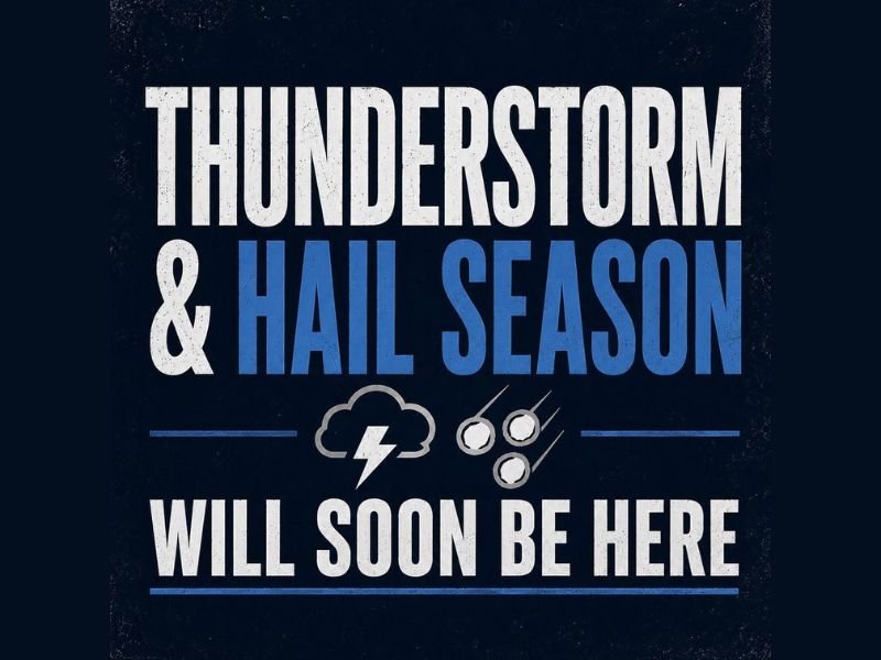
COLORADO — As spring transitions deeper into summer across Colorado and the Plains, thunderstorm and severe weather season is ramping up and a local meteorologist has issued an important yearly public service announcement to help residents understand what they are actually seeing when tornadoes and severe weather are reported across the region. With about 90% of Colorado tornadoes being landspouts rather than classic supercell tornadoes, understanding the difference between the two is critical for realistic preparation and appropriate community response.
What Is a Landspout and Why Does It Matter
Landspouts are weak tornadoes that form between the cloud base and the ground but are not attached to the rotating updraft of a severe thunderstorm. This is a fundamentally different formation process compared to classic tornadoes, which develop from the rotating updraft of supercell thunderstorms and mesocyclones.
Across Colorado and the Plains, landspouts are extremely common due to the region’s unique atmospheric conditions including dramatic wind direction changes, terrain influence, and a wide variety of funky atmospheric interactions that occur regularly on the plains. While landspouts can still be dangerous and should never be dismissed entirely, many are weaker and shorter lived than the classic supercell tornadoes that most people picture when they hear the word tornado.
The Other 10 Percent Are the Real Deal
While landspouts dominate Colorado’s tornado statistics at approximately 90% of all reported tornadoes, the remaining 10% are the more classic and significantly more dangerous tornadoes associated with supercells and mesocyclones. Historic Colorado tornado events in communities like Windsor, Berthoud, and Holly represent this more dangerous category of tornado activity that the region is also capable of producing under the right atmospheric conditions.
These classic supercell tornadoes do not happen frequently across Colorado, but they absolutely can and do occur, making preparation and awareness essential for all residents heading into severe weather season regardless of how common landspouts may be in the broader statistics.
How to Share Storm Photos and Videos Responsibly
With severe weather season ramping up, the meteorologist also addressed the community directly about how to share storm photos and videos responsibly. Submissions must be real and must belong to the person sending them. Sharing AI generated content or photos taken from other sources to gain attention will result in being permanently blocked from the community page.
Genuine photos and videos from the community are welcomed and valued because they help meteorologists report in real time and provide visual confirmation that helps residents take threats like tornadoes and large hail more seriously.
Preparation Over Panic
The core message heading into Colorado’s thunderstorm and hail season is straightforward — preparation beats panic every single time. Residents are encouraged to stay informed with honest and realistic weather information, understand the context behind what they are seeing on radar and in the field, and make smart decisions based on accurate information rather than fear or exaggeration. Stay with GordonRamsayClub.com for the latest updates.

Leave a Reply